


Analysis
The successful launch of the Biomass satellite symbolizes a convergence of two major global priorities: technological advancement and environmental preservation. As climate change continues to impact ecosystems globally, the tools we use to assess, mitigate, and adapt need to evolve. ESA’s Biomass satellite is just such a tool, designed with both precision and purpose.
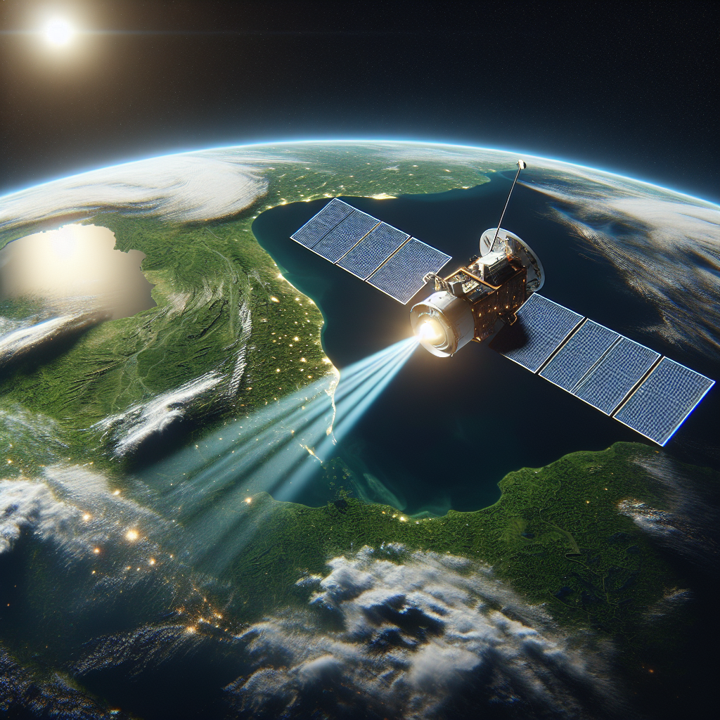
The satellite’s use of P-band radar is pioneering. Unlike other remote sensing technologies that are compromised by thick canopies or cloud interference, Biomass’s radar can penetrate dense forest layers—offering a clear, three-dimensional picture of vegetation across continents.
The Biomass mission will give us unique data on the Earth’s forests, invaluable for climate science and sustainability policies.
Dr. Josef Aschbacher, ESA Director General
This innovation feeds into larger conversations in the space and technology sector about the dual use of satellite technology for both commercial and humanitarian gains. The Biomass satellite doesn’t merely photograph the Earth—it quantifies change. This opens the door to more transparent carbon trading systems, better-informed deforestation policies, and accountability in climate-related goals.
Global Context and Industry Trends:
- The aerospace industry is trending toward environmental intelligence—Satellites are increasingly built for climate-specific missions.
- Private-public partnerships are becoming central to funding Earth-science satellites, combining governmental insights with commercial agility.
- There’s growing emphasis on sustainable space missions, from efficient fuel use to low-earth orbit traffic control.
Predictions: By the end of this decade, similar missions will focus on marine biomass, urban heat zones, and subsurface moisture metrics to form a holistic Earth intelligence grid.
As the world edges closer to critical climate tipping points, missions like Biomass arm humanity with knowledge—and knowledge remains our greatest defense against environmental degradation. With the satellite now in low Earth orbit and data collection underway, policymakers, scientists, and conservationists can better collaborate to protect our planet’s lungs.

Sources
Original source: Read the full article here
Disclaimer
This blog post was written with the help of AI. The featured image is AI-generated and does not depict actual satellite imagery or launch photographs.


